Ag & Wildlife Valuations: What Anahuac Acreage Owners Need
November 6, 2025
November 6, 2025
Are you counting on an ag or wildlife valuation to keep taxes manageable on your Anahuac acreage? If you are, you know the rules can feel technical and the paperwork never ends. You want to qualify without surprises, and you want to protect your property’s status during a sale or after you buy. In this guide you’ll learn how 1-d-1 and wildlife management appraisals work, what degree of intensity means, which records to keep, and what to confirm with Chambers County Appraisal District before you act. Let’s dive in.
Texas law allows a special, productivity-based appraisal for land used principally for agricultural purposes. A related pathway recognizes wildlife management as a qualifying use under the same open-space statute commonly called 1-d-1. Instead of valuing your land at market value, the county values it based on its agricultural or wildlife productivity. For qualifying acreage, that can mean significant property tax savings.
The state sets the framework and the Texas Comptroller publishes guidance, but your county appraisal district handles applications and decides what qualifies locally. In Anahuac and across Chambers County, the Chambers County Appraisal District administers this appraisal, including forms, documentation expectations, and inspections.
The Chambers County Appraisal District determines how applications are processed and what evidence it expects. Policies can vary by county, so you should confirm CCAD’s current procedures, forms, and deadlines before you rely on an existing appraisal. Ask about local mapping requirements, whether a wildlife management plan must be submitted with your application, and if annual updates are required.
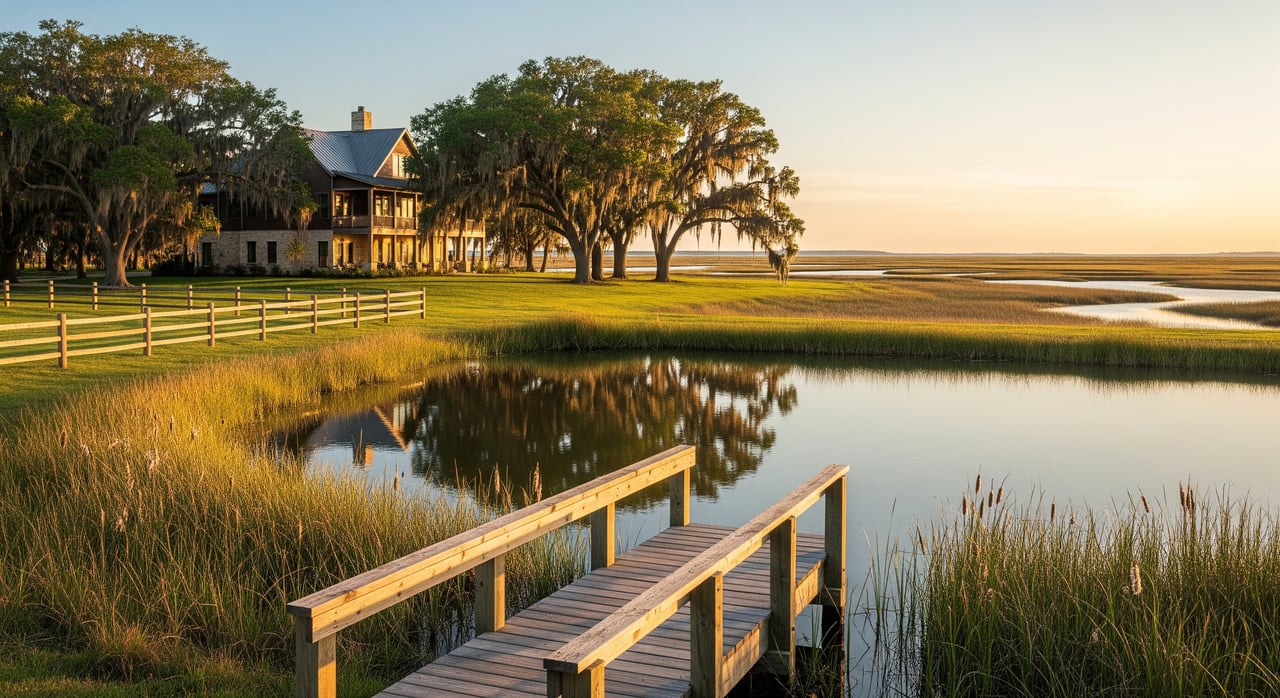
Anahuac’s coastal setting also matters. Coastal prairie, marsh, and tidal wetlands shape which wildlife practices are appropriate. Some structural or earthmoving work can require permits or consultation. Before you alter wetlands, build or modify ponds, or clear near shorelines, confirm whether federal, state, or local approvals are needed.
To qualify under wildlife management, your land must be used primarily for the propagation, protection, restoration, management, or harvest of native or naturalized game species. It is not enough to allow wildlife to exist on the property. You must plan for and perform management activities that meet the accepted degree of intensity for your land type and size.
Two pillars support most successful applications:
Degree of intensity is not a single number. It looks at whether your activities are real, recurring, and documented at a scale that fits your property and goals. Appraisal districts evaluate whether you implemented your plan, how often you acted, how much of the property was managed, and whether your records show continuity over time.
Strong plans usually identify target species, baseline conditions, specific practices, timelines, and monitoring methods. Strong records show dates, locations, receipts, photos, and census data. Many districts give added weight to plans prepared or supported by qualified personnel like TPWD, NRCS, AgriLife, or a private wildlife biologist.
Counties and habitats vary, but these practice categories are widely recognized when planned and executed at an appropriate intensity:
On coastal prairie and marsh near Anahuac, waterfowl and marsh species are common targets. Managed wetland cells, seasonal flooding regimes, native forb plantings, and careful vegetation management can be appropriate. Practices used on inland rangeland may not fit salt marsh or regulated wetland areas, so tailor your plan accordingly.
Well-organized records are as important as on-the-ground work. Strong files help with annual reviews, buyer due diligence, and audits.
Keep at least five years of documentation. Many districts review this period when checking continuity and when assessing rollback taxes after a change in use. Organize by year and activity category, date every entry, and geotag photos when possible.
Confirm CCAD’s current application and whether your Wildlife Management Plan must be submitted with the initial filing or can follow. Ask about annual update requirements and filing windows. If ownership changes or you subdivide, confirm what notices are required to maintain the appraisal.
Before you close on acreage that claims an ag or wildlife valuation, request and verify:
Build contract protections that allocate potential rollback taxes and require delivery of complete appraisal files.
Once you qualify, keep your use on track year after year:
Coastal properties often involve overlapping review. Earthmoving, dredging, and wetland alterations can require permits or consultation with agencies. Document your due diligence before starting structural water projects or large vegetation changes.
Storms and hurricanes can interrupt scheduled work. If damage occurs, document the impact, your repair actions, and your timeline. Appraisal districts generally recognize documented restoration as a continuation of qualifying use.
Many rural coastal districts have increased scrutiny of wildlife management claims. Aerial imagery and GIS tools are used to verify continuity. Timely, georeferenced photos and clear treatment maps help resolve questions quickly.
Denials and rollback assessments often stem from inadequate documentation, plans that are not property-specific, or evidence of non-qualifying use. If your application is denied or your status is challenged, you can file an administrative protest with the appraisal review board. Present your Wildlife Management Plan, detailed activity records, and any third-party technical letters that support your practices.
For complex cases, especially those involving substantial rollback exposure, consult a property tax attorney or a specialized consultant. In transactions, clear contract terms and full disclosure reduce risk for both sides.
If you own or are buying acreage in Anahuac, start by confirming CCAD’s current requirements, then gather or request the Wildlife Management Plan and 3 to 5 years of records. Make sure your planned practices fit coastal ecology and obtain permits where needed. If you want a local perspective on due diligence or how to structure your contract around appraisal status, our team is ready to help.
Have questions about a specific parcel or upcoming sale? Connect with The Holly Jackson Team for practical guidance on Chambers County acreage, wildlife plans, and transaction strategy. Get a Free Home Valuation to understand your options.

Holly Jackson | Real estate Broker
Holly Jackson is passionate about helping clients navigate every aspect of real estate, from buying and selling homes to commercial and farm & ranch properties. Known for her dedication and personalized approach, Holly thrives on building relationships and guiding clients toward successful transactions. She looks forward to making your real estate journey seamless and rewarding.
The Holly Jackson Team is proud to be your local real estate connection in Southeast Texas. Based in Mont Belvieu, they know the area and its surrounding communities well. The're experienced, hardworking, and extremely proficient in all aspects of the buying or selling process.